
Last updated: 2026-10-19
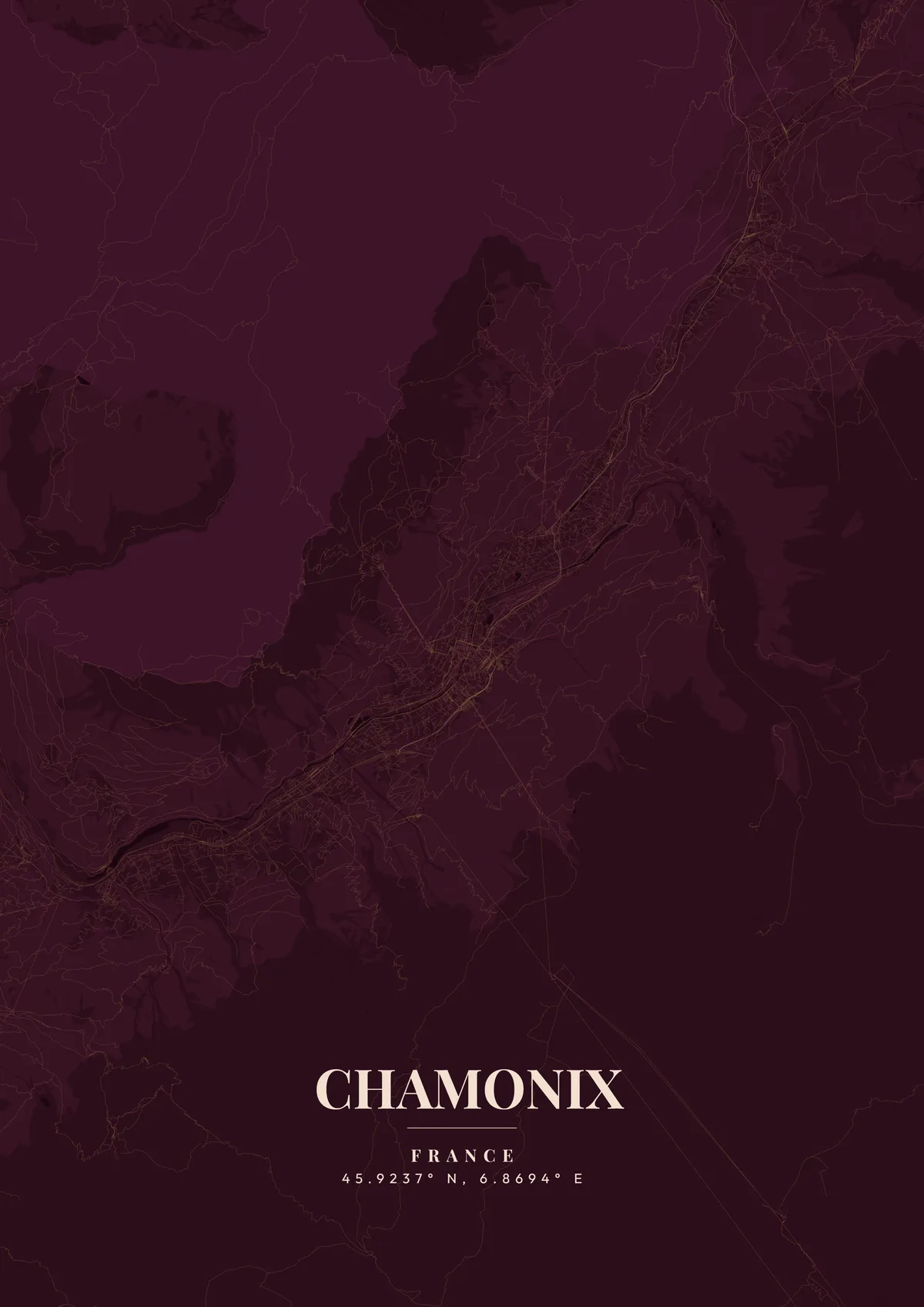
Chamonix, France Map Poster
Build Your Chamonix Map ArtOrder this print
Free to design · Printed posters from $24.99, shipping included to 20 countries
Chamonix-Mont-Blanc sits in a narrow valley at 1,035 meters altitude, dwarfed by the towering massif of Mont Blanc, Western Europe's highest peak at 4,808 meters. The town's map stretches linearly along the Arve River valley, with the compact centre-ville clustered around the church of Saint-Michel. Cable car lines radiate upward to the Aiguille du Midi and the Grands Montets, while the Mer de Glace glacier creeps down from the peaks above. The surrounding communes of Les Houches, Argentière, and Vallorcine extend the valley map into a continuous alpine landscape.
The streets of Chamonix
A custom map poster of Chamonix, France turns a meaningful location into personalized wall art — completely free with MapPoster.
Chamonix hosted the first Winter Olympics in 1924, cementing its status as the birthplace of alpine sports. The Mont Blanc Tunnel connects France to Italy beneath 11.6 kilometers of mountain. Every summer, the Ultra-Trail du Mont-Blanc draws thousands of runners to circumnavigate the entire massif. For a map poster, the dramatic elevation contrasts between valley floor and surrounding peaks create extraordinary topographic detail. Glacial white, deep granite grey, or alpine forest green beautifully capture this legendary mountain town.
Printed and shipped to your door
Design your Chamonix map poster for free, then order it printed from the same editor. Posters print at 300 DPI on 170 gsm silk paper (A4 on 350 gsm card), and tracked shipping to 20 countries is included in every price. Each print is made to order within 3 business days, then usually arrives 3 to 6 business days after it ships (longer to Canada, Australia, Norway, New Zealand, Japan, Brazil and Mexico).
| Size | Dimensions | Poster |
|---|---|---|
| A4 | 8.3 × 11.7″ | $24.99 |
| 12 × 18″ | 30 × 46 cm | $34.99 |
| 16 × 20″ | 41 × 51 cm | $39.99 |
| 18 × 24″ | 46 × 61 cm | $44.99 |
| 12 × 12″ | 30 × 30 cm | $29.99 |
| 20 × 20″ | 50 × 50 cm | $44.99 |
Also framed (black, white or oak) from $79.99, on canvas from $69.99. Prices in USD, shipping included; checkout switches to EUR or GBP based on where you are. A print that arrives damaged is reprinted or refunded for free.
Frequently Asked Questions
Can I order a printed Chamonix map poster?
Yes. Design your Chamonix poster, then order it from the editor as a poster from $24.99, framed (black, white or oak) from $79.99, on canvas from $69.99. Prints are made at 300 DPI, tracked shipping to 20 countries is included in the price, and each print is made to order within 3 business days, then usually arrives 3 to 6 business days after it ships (longer to Canada, Australia, Norway, New Zealand, Japan, Brazil and Mexico).
Can I print a Chamonix map poster at home?
Yes. Download your Chamonix poster and print on thick matte or glossy photo paper. The standard version works well up to 8×10″, and the high-resolution export is sharp up to 18 × 24″ (A2). Or let us print it: printed posters from $24.99 with shipping included, framed or on canvas too.
How do I add text and coordinates to my Chamonix poster?
Use the text overlay panel in the editor to add a title, subtitle, date, and GPS coordinates. You can change fonts, sizes, weight, and position. Chamonix's coordinates are pre-filled — just toggle them on.
How do I create a Chamonix map poster?
Go to mapposter.xyz, search for Chamonix, pick a theme, and customize the colors and text. You can download a standard version right away, get a high-resolution export (up to 7200px at 300 DPI) for $6.99, or order it as one of our printed posters from $24.99 with shipping included. No account needed.